


Merradalsbekken - hike along the river in Oslo - idyllic nature with old-growth forest in an urban area

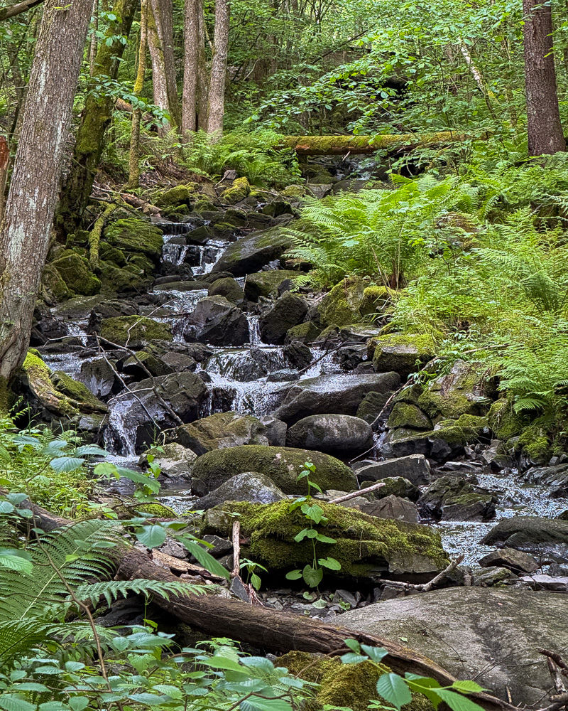
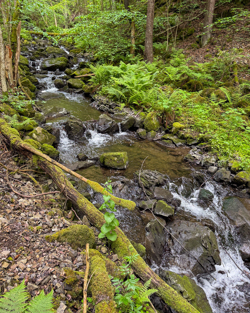
Merradalsbekken is the shortest of Oslo's rivers. It is approx. 5 km long and runs from Voksenåsen/Holmenkollen to Bestumkilen at Skøyen. Parts of the river are laid in a culvert, but in a stretch of 2 km from Sørkedalsveien to Ullernchausseen it runs through Merradalen, which is a narrow valley with great biodiversity. Here there are many different plants, forests with several types of trees and a hiking trail that follows the river. This article describes the hike along the river.

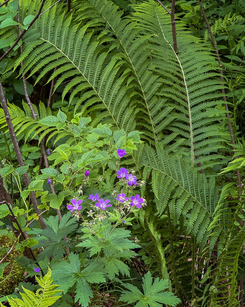
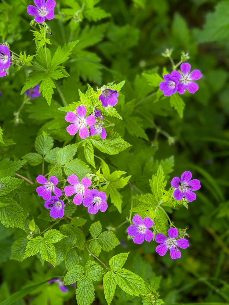
The valley follows a fault line and is between 100 and 500 meters wide. This narrow valley depression with the river at the bottom gives a locally humid climate at the bottom and a drier one at the top. Plants and trees that like a humid climate grow near the river, while species that like a drier climate grow up the sides. In the valley you can find both primeval forest, noble deciduous forest, old deciduous forest, grey elm hedge forest and meadows with wildflowers.

Due to the many rare and red-listed plant species, this is an interesting place for botanists. The size of the forest and the great variety of plants and deciduous trees also make the valley an important nesting and resting place for birds. Ornithologists have identified as many as 68 bird species in this area. In addition, moose, deer, fox, badger, hare, squirrel and weasel have been seen. The valley has the status of a nature conservation area, and it is of course important that we as visitors treat nature with care. Both animals, birds and plants depend on the preservation of the entire ecosystem. Therefore, it is also an important political task to avoid further interference with nature in the form of expansion of the surrounding buildings.
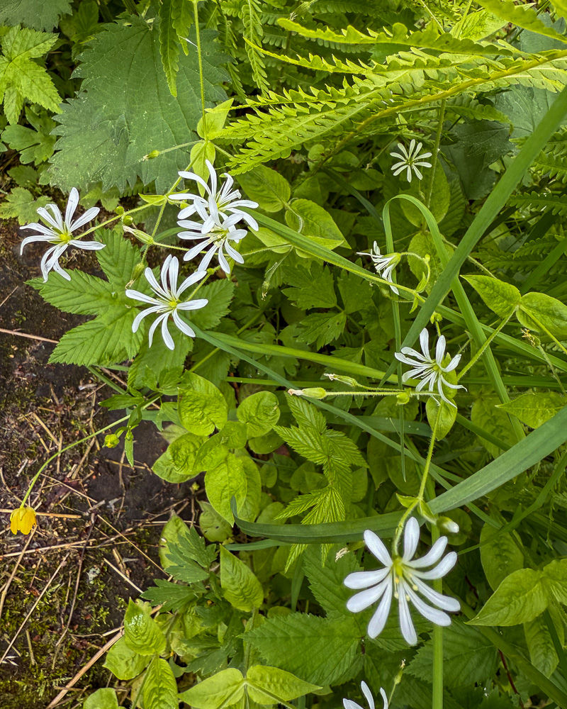
Even though the settlement is not far away, the only sounds you hear down by the river are from nature. In the spring there are plenty of bird calls, and wherever you go, you are followed by the soothing sounds of running water.
There are three theories about the origin of the name Merradalen. One is that farmers in the area once used the valley as a garden for their horses (from the Old Norse "merr" for mare). The second is that the valley was used as a burial ground for horse carcasses. And the third is that the Cistercian monks from Hovedøya Monastery, who owned Ullern Farm and Merradalen and collected herbs there, called the valley Marie's Valley, which the locals distorted to Merradalen because they did not fully understand the monks' language.

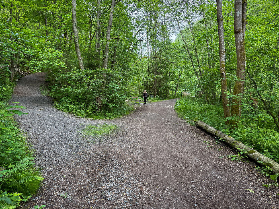
The route starts at Huseby School, right next to Huseby Camp, where there is a large parking lot. From here, you can walk on one of the paths down to the river. If you want to follow the entire stretch of the river, you can walk the walkway up to Sørkedalsveien and follow the river down from there. This will take you an extra 200-300 meters of the river. The route described here is a partial round trip. You walk along the river on the left side until you are led over to the right side. You continue on the right side down to Ullernchausseen, where the river is led into a culvert. On the way back up, you always walk on the left side so that you have the river on your right.

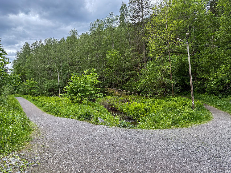

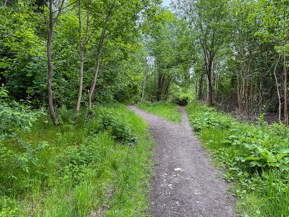


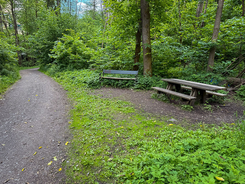



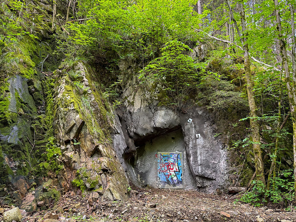


On the way up, you should keep the river on your right at all times, but when you come to a hill that goes steeply up on the left, you should follow the hiking path over the bridge to the other side of the river. Then it is only a short distance to the place where the path goes up to the parking lot. If you want to see the entire stretch of the river, you can continue on the footpath until Sørkedalsveien where the river comes out of the culvert.
More excursions: www.turideer.com
Excursion of the week: Merradalsbekken - hike along the river in Oslo
Suitable for: Anyone who can walk on slightly rough terrain. Also possible with a stroller or wheelchair if you just walk along the hiking trails.
Duration: The walk is 2 km each way, a total of 4 km and takes about 1 hour to walk.
How to get there: Enter "One Park Sørkedalsveien 150" in Google Maps. This will take you directly to the parking lot at Huseby camp and Huseby school.


Comments