
Niskinnvann - idyllic pond in the woods - hike around a lake
- Admin

- Apr 28, 2021
- 3 min read
Updated: Sep 30, 2024
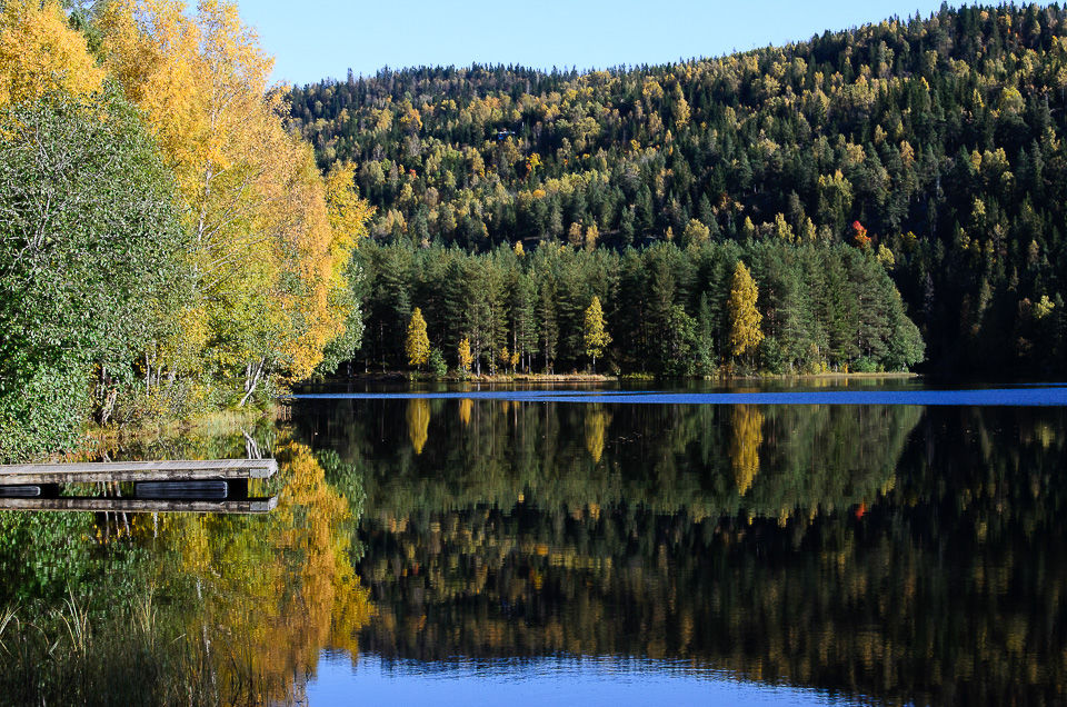
One kilometer northeast of Sollihøgda lies a small pond where there are few people. Even on a hot summer day you can find your own little cove where you can swim naked if you want to. There are some cabins around, but there is space for everybody.


The name comes from Nis-chin that is dialect for Promontory-pond. The pond is much larger now than it was originally. The promontory was converted to a small island when the pond was dammed in 1850 to create a stable water flow in the river for transport of timber.

This summer was so dry that the river went empty, but the picture above shows the sluice used to regulate water flow.

The hike through the forest goes on pleasant marked trails.

At the south end of the water lies Mustadkroken. This is a 24-bed DNT field cabin, which is now only rented to groups, often school classes.


More excursions: www.turideer.com
Excursion of the week: Niskinnvann at Sollihøgda near Oslo - hike around a lake
Suitable for: Those who like to hike in the woods and to find privacy.
Length: The water can be reached from both the north side and the south side. The south side has the best bathing places. It is only 1 kilometer to the northern tip, but you can turn it into a 7-8 kilometer round trip if you choose to walk around the water.
Get there: Drive E-16 towards Hønefoss from Sandvika outside Oslo. About 300 meters before you reach Sollihøgda, there is a dirt road to the right. It leads to Høymyr parking lot. Park as far as you enter the area on the right side of the road. There are two paths to Niskinnvann - one leading to the northwest side and the other to the southeast side. Both start on a dirt road / carriageway that goes up in a southerly direction from the parking lot on the right side of the road. To get to the northeast side - which has the finest bathing areas - take a blue-marked path to the left as the dirt road crosses a blue-marked trail after a few hundred meters. Follow the trail until you reach Niskinnvann. It is just under 1 km to walk. If you want to walk to the southern tip of the water, continue the dirt road through a farm yard and down until you reach a crossing road. Cross the road and continue into the forest on a blue-marked path. Follow the trail until you reach Niskinnvann. To get to the bathing areas, walk across the river that flows from the southern tip and further along the water on the east side. You follow a narrow path a few hundred meters in rugged terrain until you reach a some paths that take to the left towards the beach. There are several coves along the beach. It is also possible to take a tour around the water. Then you can start on the dirt road which is signposted to Torresplassen and Mustadkroken and which goes from the small shed at the end of the parking lot. Follow the signs for the Mustadkroken. When you reach the end of the water, you must enter a path to the right on the north side of the water. Follow this along the water until you reach the Mustadkroken. The south end of the water is close by. Back again, follow the blue-marked trail to Sollihøgda in the southwest direction.


Comments