
Hike from Altea to Altea Vella - lush orchards, peaceful narrow streets
- Admin

- Mar 29
- 5 min read
Both Altea and Altea Vella have a long history. In historical times, the area was first populated by the Iberians around 400 BC. Later, the Romans and then the Moors took control before the Spaniards took over. Altea and Altea Vella are located on either side of the valley and the river río Algar. In this area of about 4 kilometers there is a lush terrain with orchards and fields. The article describes a hike from río Algar to Altea Vella.

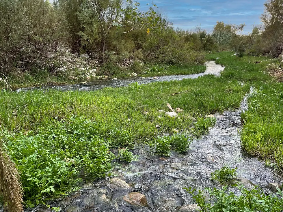
The walk starts on the footpath by the Río Algar near the mouth of the river where the settlement of Altea stops. It continues along the river up the valley for about 500 metres where the footpath joins a road. From there you walk on the road for a short distance parallel to the motorway before entering an area of villas, orchards and fields. Finally you end up in the lower part of Altea Vella. The route with road junctions is described in more detail in the pictures below.


What is now Altea is located on a cliff to the west of the Algar River. Originally, however, the area between the Algar River and the Sierra Bernia was called Altea, while today's Altea was called Albalat. After several unsuccessful attempts to increase the population of the original Altea, it was decided in 1617 that the village of Albalat would become the new Altea. Altea Nuevo (new Altea) then received an official Carta Puebla, while old Altea lost its village rights and was given the name Altea Vieja (old Altea), which over the years was simplified to Altea Vella. The official year of birth of Altea is therefore 1617. Eventually, Altea Nuevo was simply called Altea, while Altea Vella kept its "surname".


The street structure of the old town of Altea with its narrow winding streets dates back long before the city received its Carta Puebla. It was established as early as the period between the 8th and 13th centuries when the Moors ruled there. The buildings were later renewed to meet the needs of the Christian population that took over from the Moors, but the street plans were preserved, and most of the current buildings date back to the Middle Ages. In Altea Vella, the street plans from the Middle Ages have also been preserved, but the houses are much more recent. They were built in the 18th and 19th centuries and have been rehabilitated in recent years so that they are quite modern. What still gives you the feeling that Altea Vella is a medieval town is that the houses are built in a typical Mediterranean style, and that the new houses are built on top of the foundations of the old ones so that the narrow, winding and steep streets are retained.


More excursions: www.turideer.com
Excursion of the week: Hike from Altea to Altea Vella along the Algar River and through the Altea Valley.
Suitable for: Everyone. Strollers and wheelchairs are welcome.
Length: 4 km each way, 8 km total. Back and forth the same way.
How to get there: Park in the free car park at the sports complex on the east side of Altea down by the river. Type "Free Car Park" or "Carpa Festera" into Google Maps and you'll be taken straight to the car park. Cross the road to the footpath on the other side at the roundabout. That's where the route begins.


Comments