


Sandön nature reserve on Smögen - coastal hike - stonemason history - red water lilies - beautiful beach

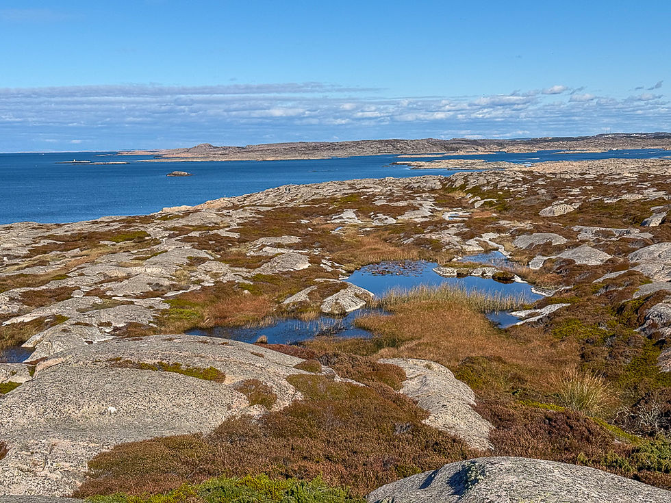
Sandön is a crescent-shaped peninsula just after Smögenbroen where you can find a warm sandy beach and a beautiful hiking area with small ponds with red and white waterlilies. At the very tip you can see the remains of a former granite quarry and a memorial to the history of stonemasonry. Sandön has been a nature reserve since 1986.

Smögen is known for its picturesque pier with restaurants and old shops. Many who visit Smögen only see this and perhaps the town next door and the beautiful beach area in the continuation of the pier. But just after Smögenbroen on the right side is a peninsula with equally beautiful and unique nature. There are fewer tourists there, and there you can find a sandy beach that is sheltered from the wind almost no matter which way it blows. As the picture above shows, Sandön is a peninsula with a crescent-shaped headland that ends in a narrow strait. The lagoon inside is well sheltered from the waves in the sea outside.

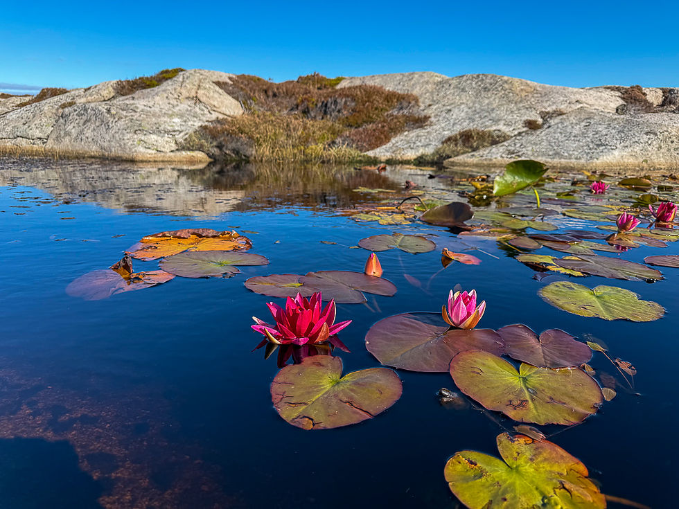
The map above shows that a white-marked hiking trail has been created that runs along the west coast in one direction and along the east coast in the other. At the north end, a round trip has been created that is not shown on the map. Three ponds with red water lilies (blue circle with red core) and one pond with white water lilies (blue circle with white core) are marked. The water lilies bloom from the latter half of August to the first half of October. Towards the tip of the peninsula at the northern end, the remains of a quarry where blocks of red granite, so-called Bohus granite, were extracted can be seen. There are also a sculpture of a stonemason and a memorial with information about the history of stonemasonry. From the parking lot by the sandy beach, follow the gravel road until you reach white marks that show the way up to the left towards the viewpoint. Then follow the white marks along the coast.






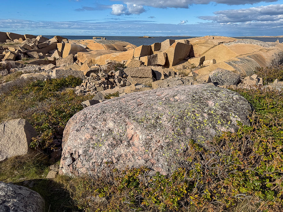


Many of the islands along the Bohuslän coast have deposits of red granite, so-called Bohusgranitt. Sandön is one of many islands where granite blocks have previously been quarried and used for sculptures, tombstones, monuments, stone slabs, building stones, paving stones, and other stone products. Today, these quarries appear as ugly wounds in a beautiful landscape. But this is also a part of history that is important to preserve, and it is also one of the reasons why the area was protected as a nature reserve.
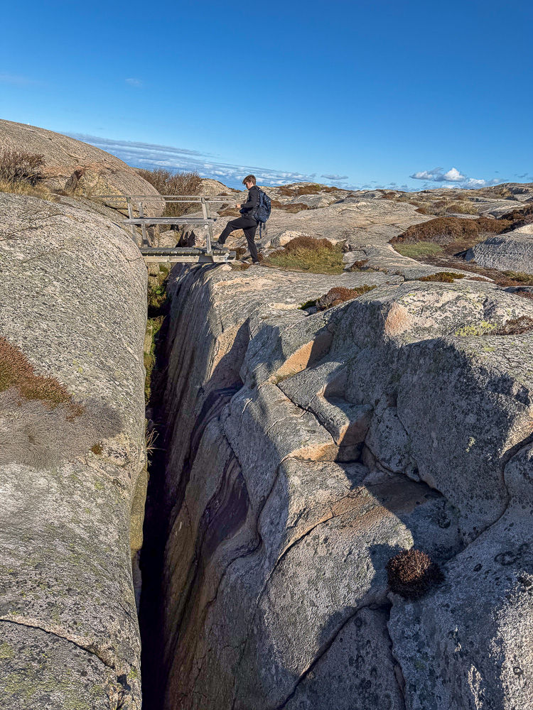
Quarrying on Sandön began in the early 1900s and lasted for 50 years. It was an important additional industry to the fisheries that formed the most important economic basis for the coastal community. Bohus granite is about one billion years old and consists of quartz, feldspar, and mica. It is considered the best granite in Sweden. Due to the cracks, it can be divided into three planes: vertical, perpendicular, and horizontal. The vertical cracks are usually in a northeast/southeast direction in nature, while the horizontal ones are at the bottom of the boulders. The granite blocks were usually extracted in areas near the sea where they could be transported further by boat.
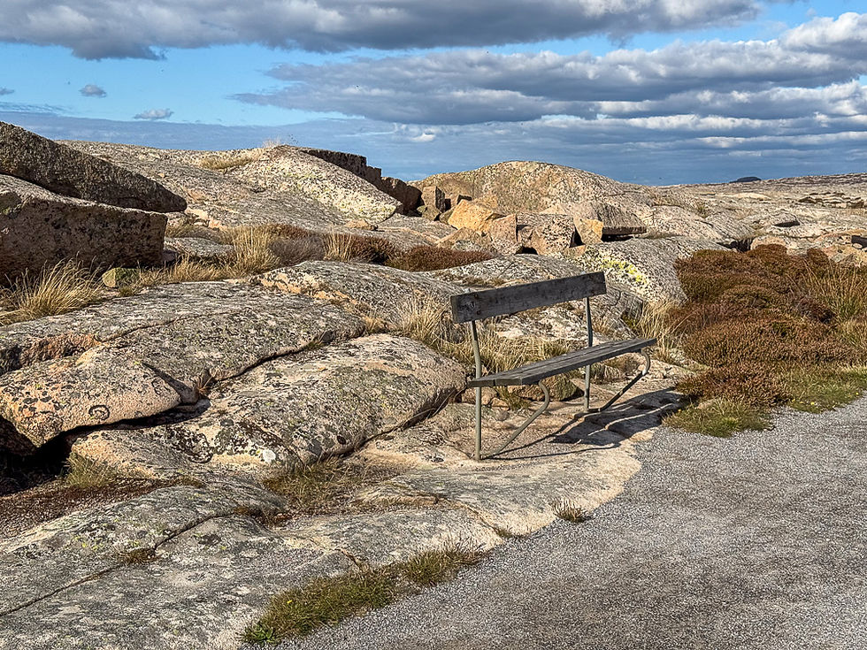

At the end of the headland on the north side, a gravel road/marked path has been made that goes around the beach through the area where Bohus granite has been extracted. On the way back, you take the gravel road on the east side of the peninsula. After 200-300 meters you will come to a sign that points to potholes. If you follow the white marked route down to the sea, you will see several potholes that are circular, but shallow.


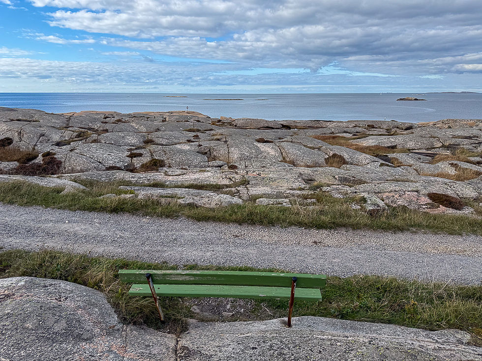

More excursions: www.turideer.com
Excursion of the week: Hiking along the coast at Sandön nature reserve on Smögen.
Suitable for: Everyone. Strollers and wheelchairs can be used on the gravel road on the east side of the peninsula, but not on the marked route along the west side.
Length: The headland itself is just over 1.5 kilometers long. If you walk the entire loop over the rock, plus the loop at the quarry at the north end and the detour down to the potholes along the way, the walk will be about 5 km long.
Getting there: Enter Sandöns nature reserve in Google Maps. This will take you directly to the parking lot. Alternatively: Drive towards Smögen and take the first exit on the right after the Smögen bridge. Then take the third road on the left and continue straight to the end of this road. There is a parking lot, toilet, kiosk that is open in high season and a beach.


Comments